Downtown Auburn Zoning
How do you know how a place will feel once it’s built? 
In the balancing act that is creative
placemaking, designing a feel, a style, has
to be closely followed with zoning that
allows it to happen in the intended way.
Zoning is about telegraphing to residents, potential builders, investors, and businesses – what we’re looking for, the standards we expect. It documents the rules that are absolute and those that are flexible to creative interpretation.
The impacts of zoning are generally easy to spot. For many
suburban cities, such as those around the metro Atlanta region, zoning over the
last 40+ years has been about separating uses of property. Houses, often on
cul-de-sac streets, over here, shopping over there, townhomes in between. Apartments
largely on their own campuses, placed along commercial corridors. Most activities
outside the home require the use of a vehicle.
Downtowns have struggled under this model. For decades, businesses
migrated to malls and strip centers with acres of parking. Historic properties
were often left vacant, or underutilized. To remedy this, some cities have
adjusted the zoning for their downtowns. They encourage mixing uses in the same
area to offer walkability, and a lower maintenance lifestyle. The public has
responded, bringing new residents who help feed into local businesses,
translating into new vitality downtown.

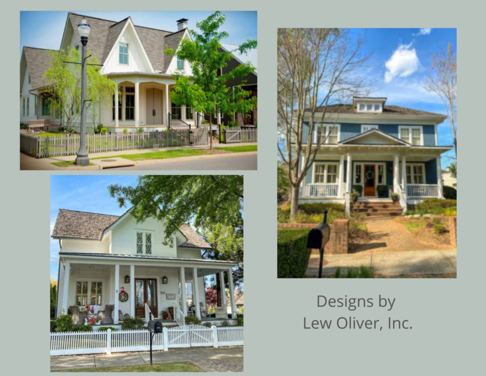
Years of planning has created a vision for the southern (new construction) side of Auburn's downtown, and how it can tie in with the northern, historic side. The master planning effort and LCI Study, both led by TSW developed the core master plan concepts and developed the potential for transportation funding options. Lew Oliver has also worked closely with the city to refine the plan and guide the architectural character of the residential elements. He has done this successfully in numerous other places, including The Village at Hendrix, Vickery, Woodstock's Downtown, and Serenbe.

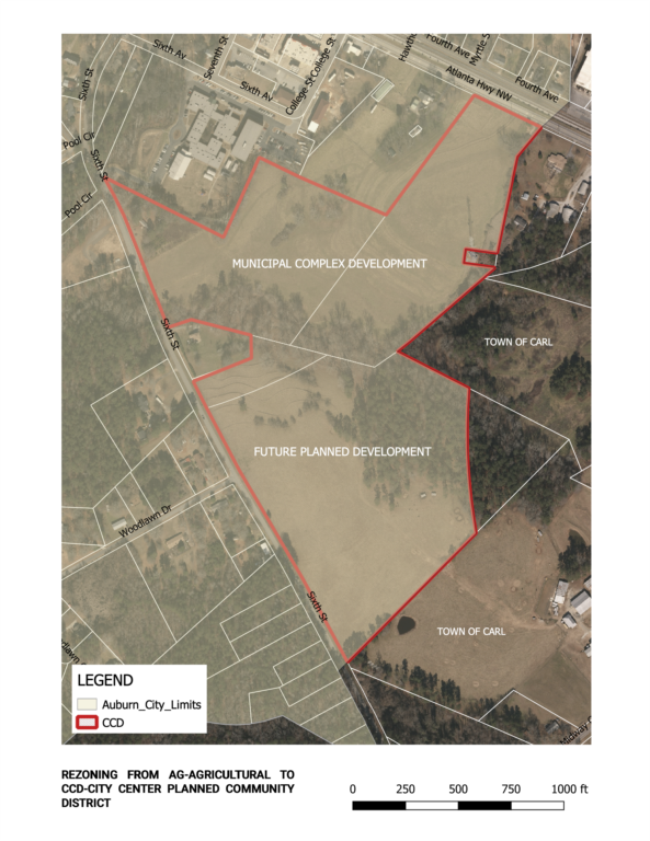
This new zoning is labeled the City
Center District (CCD), and located on property with frontage on 5th
Avenue (Atlanta Highway), and/or 6th Avenue. The CCD sets the stage
to bringing new residential development
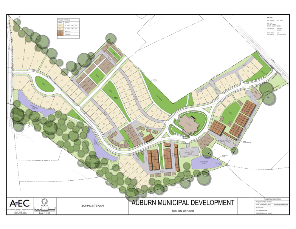
and community facilities that compliment and support each other. This new category calls for a conceptual
master development plan, approved by the City Council. Per the zoning, the plan
should include:
- At least two types of housing
- At least one civic building, and publicly owned or accessible park, garden, open space or other recreational facility
- Conservation of spaces recognizing and honoring the historical agrarian use of the land
- An efficient network of streets and trails
- Mix of uses that decrease reliance on automobile usage and encourage alternative transportation

Traditional suburban residential zoning generally requires
evenly spaced homes with curbs and prescriptively measured sidewalks, facing a
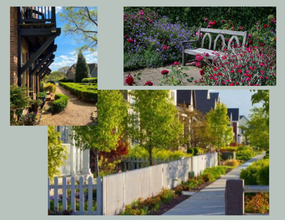
paved street. To achieve a rural feel, and create the variety and walkability we’re looking for, the new CCD zoning will allow homes to face a common green, with alleys behind for garages, trash pickup and traffic. Streets will have more of a country road feel, without curbs. Building placement will be less about uniform spacing, and more about the contours of the land.
Development Controls are called for in the CCD, limited allowed uses, to closely guard the vision. The approved list includes:
- Residences
- Gardens, parks, trails, barns, gazebos and similar recreation facilities
- Civic/public buildings and amenities for public use
- Neighborhood oriented commercial or office
- Temporary events that promote the agrarian nature of the master plan
As in any rezoning, the Planning Commission, then Mayor and
City Council held public hearings to consider this change and hear how it has
worked in other places. Ultimately, it passed on January 7, 2021.